
Glaciers' Retreat Documented in Book From UA-Led Project
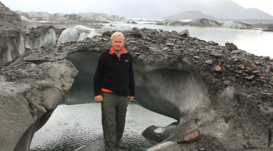
The UA's Jeffrey S. Kargel, coordinator of the GLIMS project, at Sheridan Glacier near Cordova, Alaska.
'Global Land Ice Measurements From Space' presents an overview and detailed assessment of changes in the world’s glaciers by using satellite imagery.
Taking their name from the old Scottish term glim, meaning a passing look or glance, in 1994 a team of scientists began developing a worldwide initiative to study glaciers using satellite data.
Twenty years later, the international GLIMS (Global Land Ice Measurements from Space) initiative observes the world's glaciers primarily using data from optical satellite instruments such as ASTER (Advanced Spaceborne Thermal Emission and Reflection Radiometer) and Landsat.
Jeffrey S. Kargel, senior associate research scientist in the UA Department of Hydrology and Water Resources, coordinates the GLIMS project.
The project’s research, which confirms the shrinking of the world’s glaciers in unprecedented detail, is published in the new book “Global Land Ice Measurements From Space.”
“This is the most comprehensive report on glacier changes ever done,” said Kargel, lead editor of the book. “There is a lot of material in this book that has not been published anywhere else.”
More than 150 scientists from all over the world have contributed to the book.
Other editors are Gregory J. Leonard, a UA assistant research scientist in hydrology and water resources; Michael P. Bishop of Texas A&M University in College Station; Andreas Kääb of the University of Oslo in Norway; and Bruce Raup of the National Snow and Ice Data Center in Boulder, Colorado.
Other UA scientists who contributed to the book are Regents’ Professor of Hydrology and Water Resources Victor R. Baker and Roberto Furfaro, an assistant professor of systems and industrial engineering.
While the shrinking of glaciers on all continents is already known from ground observations of individual glaciers, by using repeated satellite observations GLIMS has firmly established that glaciers are shrinking globally. Although some glaciers are maintaining their size, most glaciers are dwindling. The foremost cause of the worldwide reductions in glaciers is global warming, the team writes.
The book has 25 regional chapters that illustrate glacier changes from the Arctic to the Antarctic. Other chapters provide a thorough theoretical background on glacier monitoring and mapping, remote sensing techniques, uncertainties, and interpretation of the observations in a climatic context. The book highlights many other glacier research applications of satellite data, including measurement of glacier thinning from repeated satellite-based digital elevation models and calculation of surface flow velocities from repeated satellite images.
These tools are key to understanding local and regional variations in glacier behavior, the team writes. The high sensitivity of glaciers to climate change has substantially decreased their volume and changed the landscape over the past decades, affecting both regional water availability and the hazard potential of glaciers. The growing GLIMS database about glaciers also contributed to the Fifth Assessment Report of the Intergovernmental Panel on Climate Change, issued in 2013. The IPCC report concluded that most of the world’s glaciers have been losing ice at an increasing rate in recent decades.
More than 60 institutions across the globe are involved in GLIMS. The GLIMS glacier database and GLIMS website are developed and maintained by the National Snow and Ice Data Center at the University of Colorado in Boulder. The World Glacier Monitoring Service in Zurich also is a core institution of GLIMS.